 March 30, 2016
 A much anticipated, first chase out to the plains was in order for the day. This day was looking like a very active day for several days prior to this event with a pretty solid target of eastern Kansas.
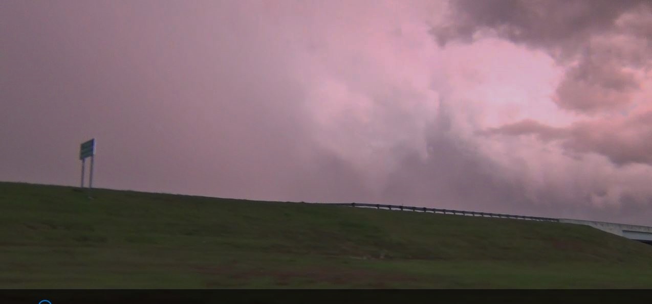
Ryan and I left the house early in the morning and picked Brian up at his work place to maximize the time as his shift ended. We made a quick exit for a target of Chanute, KS. We wavered a little and ended in Emporia, KS as we tried to figure out where the real dryline would erupt. After a brief break and gas, we decided to cut back to Highway 75 for the road south.
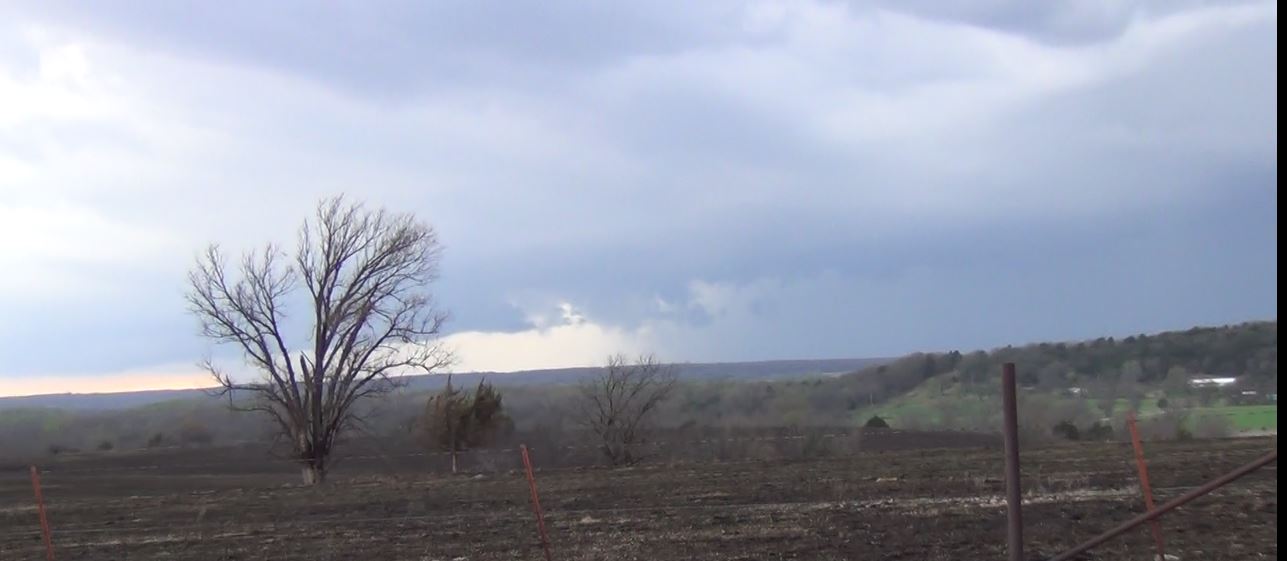
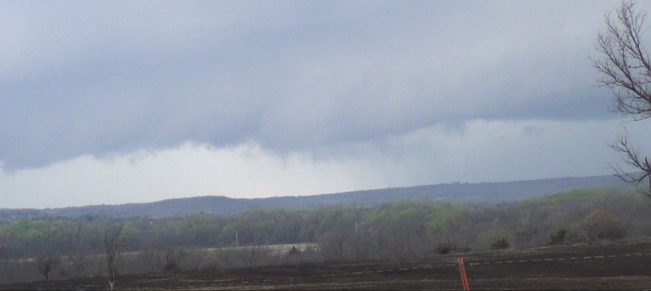
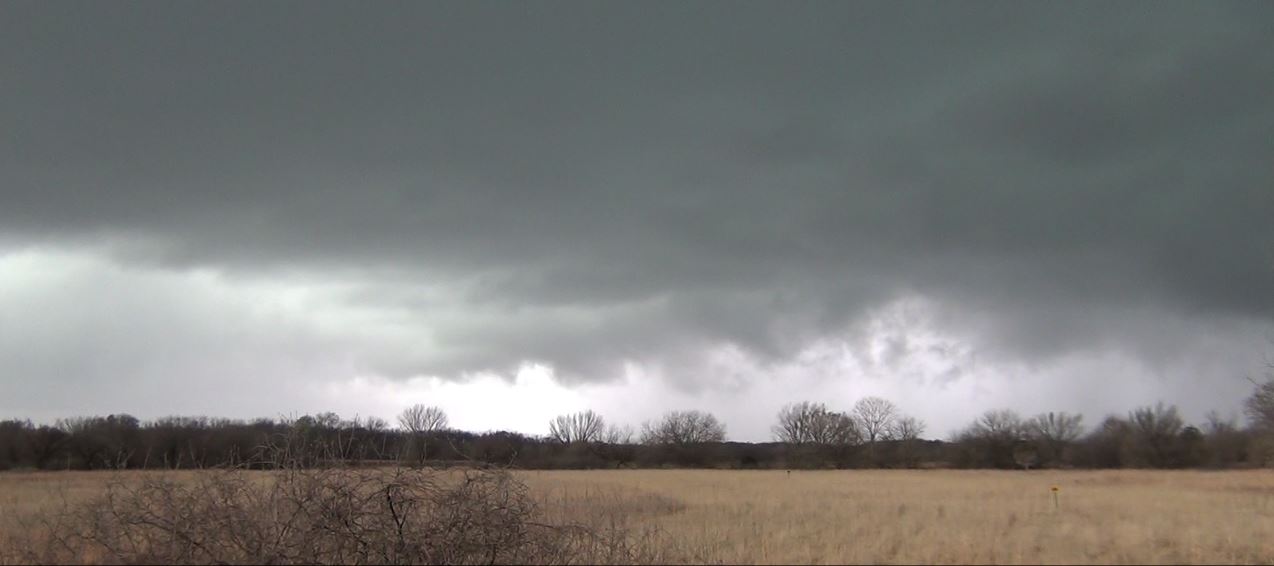
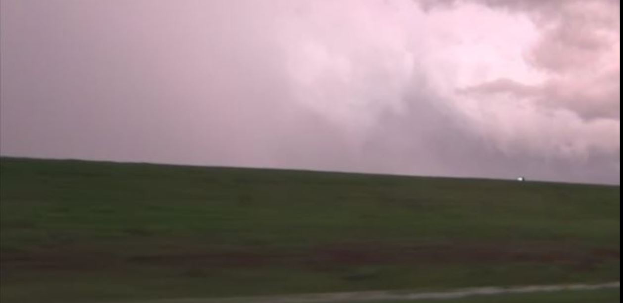
We were noticing that there were a couple of cells in Oklahoma that were working their way up toward the Chanute, KS area, so we decided to make those storms the new targets as things further north did not look as good any longer. We reached the storms and positioned ourselves to watch the storms roll in. They were severe warned and were dropping hail, but as we watched the updraft area, the rotation was weak and the storm looked very outflow dominant. As our last hope of the day, we saw that the storms working their way toward the Tulsa, OK area appeared to be the best cells of the day. As they continued to show growth, we decided to continue south to intercept these storms.
 |
 |
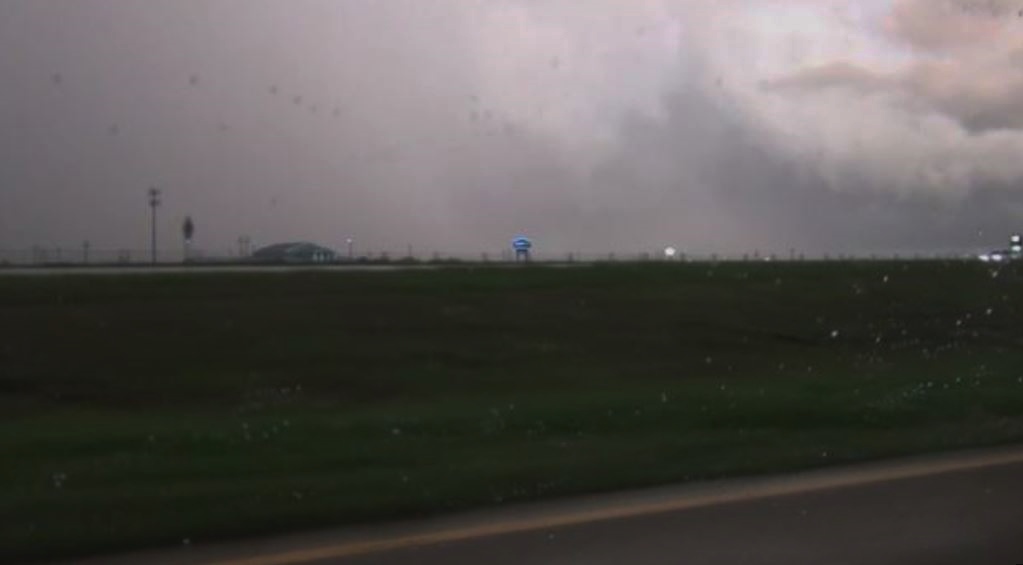
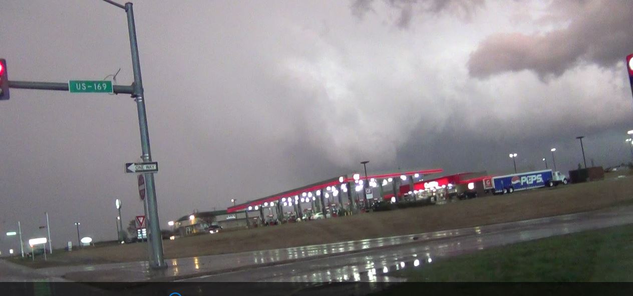
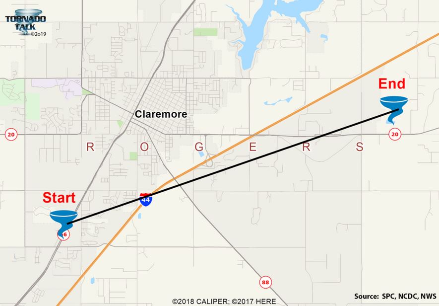
The storms and us were both getting to Owasso, OK at about the same time. Luckily, Brian having lived in Tulsa for several years was very familiar with the roads and made it a breeze to get where we needed to go. We jogged east on Highway 20 off of Highway 75, then a turn back to the south on Highway 169. As we reached Highway 20 again to the east, up against the tough contrast of the clouds, the word "tornado" rings out in the car. We got the camcorder going as we began down the exit ramp to Highway 20 losing sight of the tornado from the bridge.
 |
 |
 |
We reach the bottom of the ramp and the traffic light is red. There were two trucks in front of us at the light. And the light stayed red, and stayed red, and stayed red. Nobody wanted to move. Eventually I broke out of the line to turn west and just make a U-turn a little ways down. Wouldn't you know it. As soon as I get out of the line, the light decides to cycle through green again.
 |
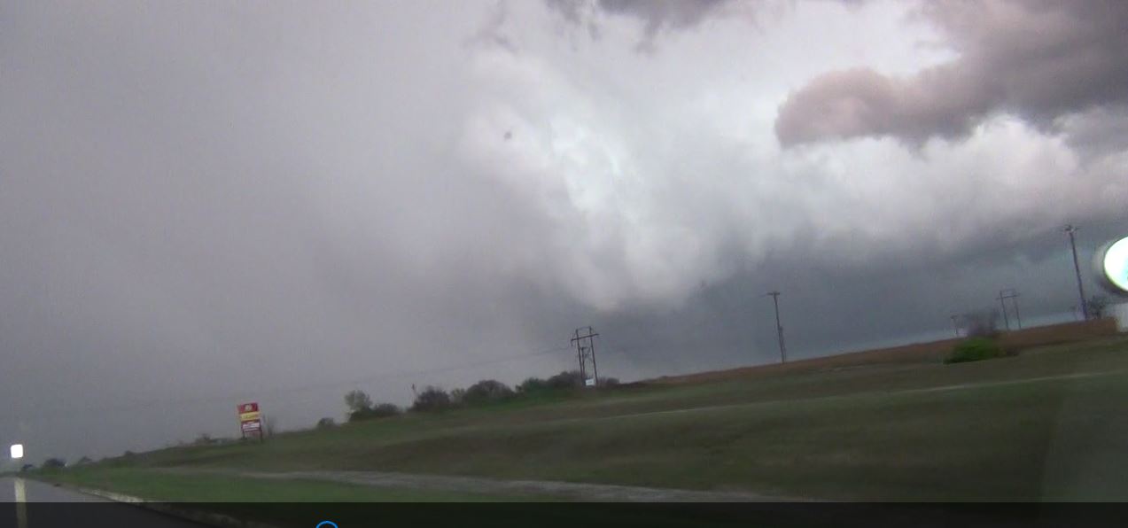
As we eventually made it under the bridge again and had the lowering in sight again, the tornado was no longer fully condensed to the ground.
 |
 |
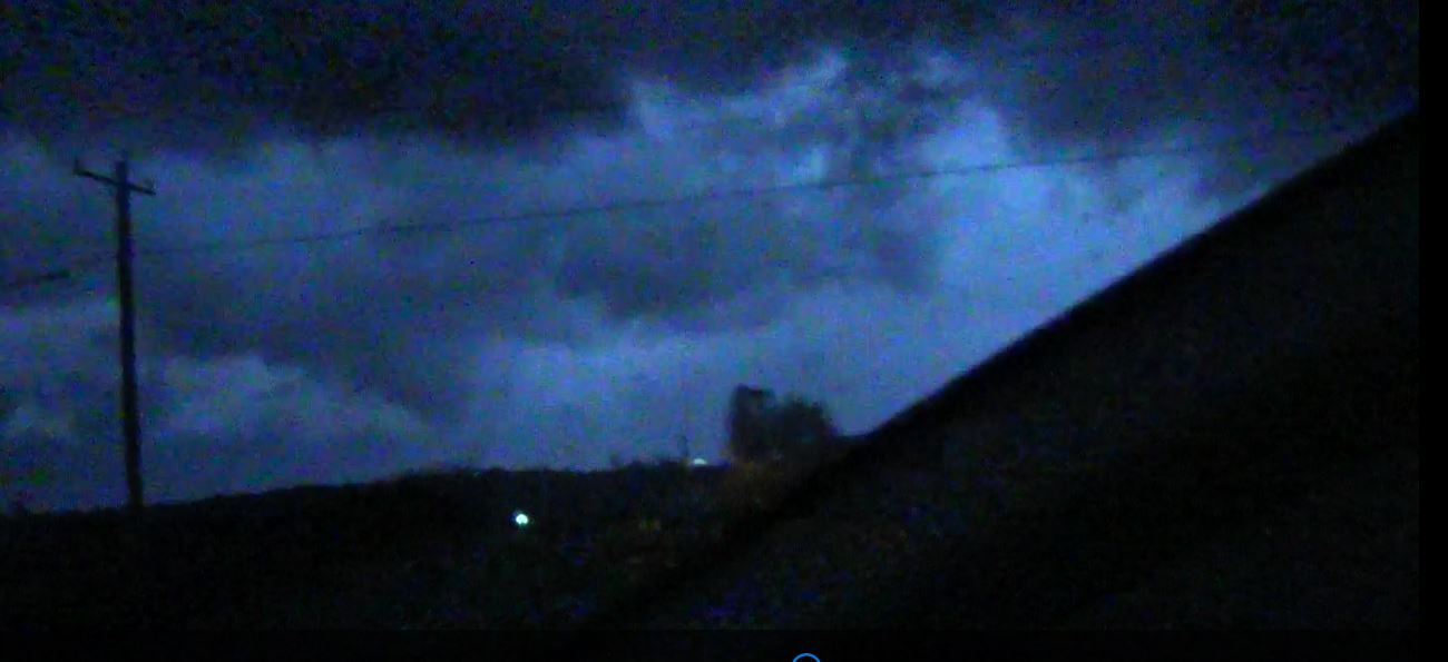
We continued to follow the tornadic storm as it worked its way east. Dusk was quickly turning into night. Many times we could make out the wall cloud and funnels along with another full tornado sighting. Getting these recorded was again quite the challenge as the equipment doesn't handle complete darkness well. Even the lightning was not very prevalent and when it did light the sky, the camcorders didn't seem to handle that as the pictures were blurry.
 |
 |
 |
 |
(click
to enlarge)
|
Click
on the link below to
see video of some of
these storms.
|
|
Summary 2016 Page |
Return
to the Storm Index Page |