After a very satisfying
chase on May 01, it was looking like the best storm
opportunity was going to be in Southwest Oklahoma
today. The oddity of the day was that the Moderate
Risk for storms was in Northeast Kansas and Northwest
Missouri and only a slight risk down in Southwest
Oklahoma, but the prospects for tornadic supercells were
better in Oklahoma. By mid-morning, we were on the
road.
Our target city was
Clinton, Oklahoma. As the supercells started to
initiate, we ended up going a bit further south toward
the city of Hobart, Oklahoma. We got in position
ahead of the storm near the town of Lone Wolf, Oklahoma
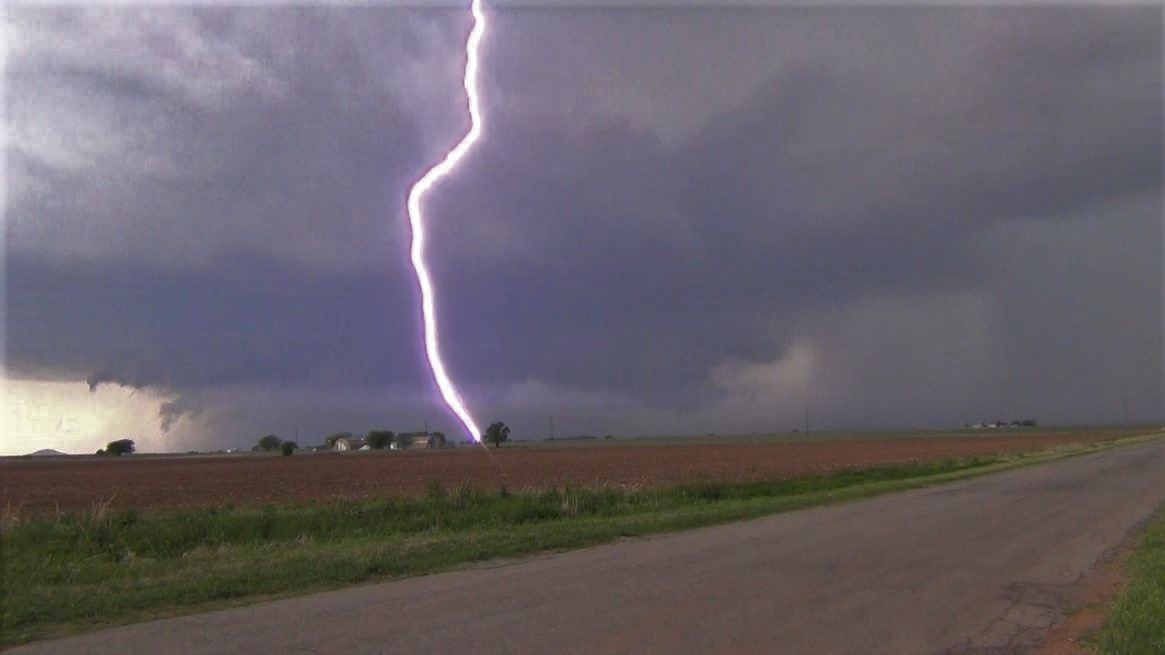
just as the storm began ramping up. The storm had
a good look and became extremely electrical with bolt
after bolt of cloud to ground lightning, many at very
close range.
It wasn't long before
Ryan yells out "Is that a Tornado? There's a dust
swirl!". Above it was a slender funnel cloud
giving the answer about whether it was a tornado or
not. The funnel and its dust swirl only lasted for
a minute or two and then it was gone.
This storm continued on
without seemingly wanting to give a repeat
performance. We went through some indecision as we
were hearing about storms further south that were
reportedly putting down tornadoes. We couldn't
decide if we wanted to leave the storm we were on
because it could regain strength or move south with
on-going tornadoes, but the possibility that they would
gust out by the time we'd get there. We moved a
bit south, but then came to the conclusion we needed to
come back north to get back on the storm we were
originally on. The northern storm never gained the
intensity again to make another attempt at a
tornado. We followed the storm all the way into
the Oklahoma City metro as dusk was now taking
over. At that point we called off the chase, got
some food, and began the long journey back to Kansas
City as Brian needed to be back to work on Thursday
morning.
Click to
Enlarge
2177 - Two
Day Total Miles
|
Click
on the link below to see video of some of
these storms.
|
 May 02, 2018